 |
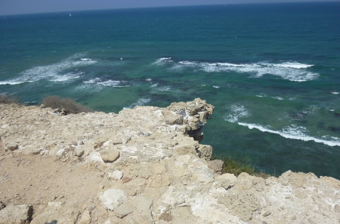
| Stunning view from cliff |
As you can see, the view is great, but the drop off is steep--and quite dangerous....so all are warned to stay away from the edge of the cliff.

We first stopped at the bathroom and I was delighted to see the gorgeous flowers draping the sherutim.

I was astounded by the size of the flowers next of the century plant. I'm the tiny blue person in the photo below. We may have seen something this size at the Desert Museum in Tucson but I'm not sure that they were this big.


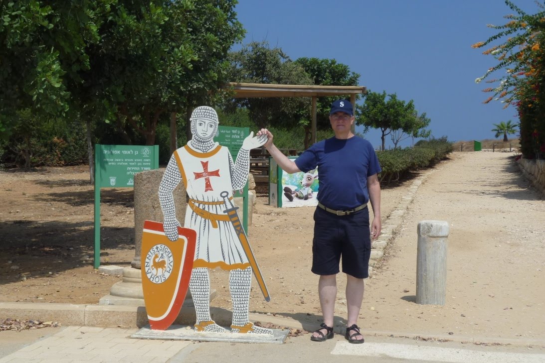
Notice we are both wearing hats to protect us from the sun.
Apollonia is located on a cliff made of calcareous sandstone, read loam, and sand. This area was first settled about 2500 years ago by the Phoenicians at the end of the sixty century BCE (the Persian period).

During the Hellenistic period from about 332 to 63 BCE, the town was renamed Apollonia as the residents identified Reshef with the God Apollo. Later the town and more of the Coastal Plain was captured by the Hasmoneans. Josephus mentioned it saying it was one of the coastal cities ruled by Alexander Janneus.
During the Roman period from 63 BCE to 324 CD, Apollonia flourished and became a real city, with both a Samaritan community and perhaps a Jewish community here in the Roman and Byzantine periods. During the 5th and 6th centuries CE, the city (now called Suzussa) became the main port city for the southern Sharon Plain, and was over 70 acres big. It had wine and oil presses and a well-developed glass industry. The villa below was found under the Crusader walls when excavated. It had a stunning view of the Mediterranean Sea.
 |
| Roman Villa in use during first and second centuries CD |
 |
| Artist rendering of Roman villa |
 |
| More Ruins |

 |
| Water Reservoir |
 |
| Water Pool in town |
Below is a lime kiln used in Ottoman times. The lime was extracted during a lengthy firing process. Remains here were found from the Persian period when the site was occupied by the Phoenicians (late 6th century BCE) as well as homes dating from the Crusader period and not visible today.
 |
| A Ottoman Lime Kiln used in production of slaked lime |
 |
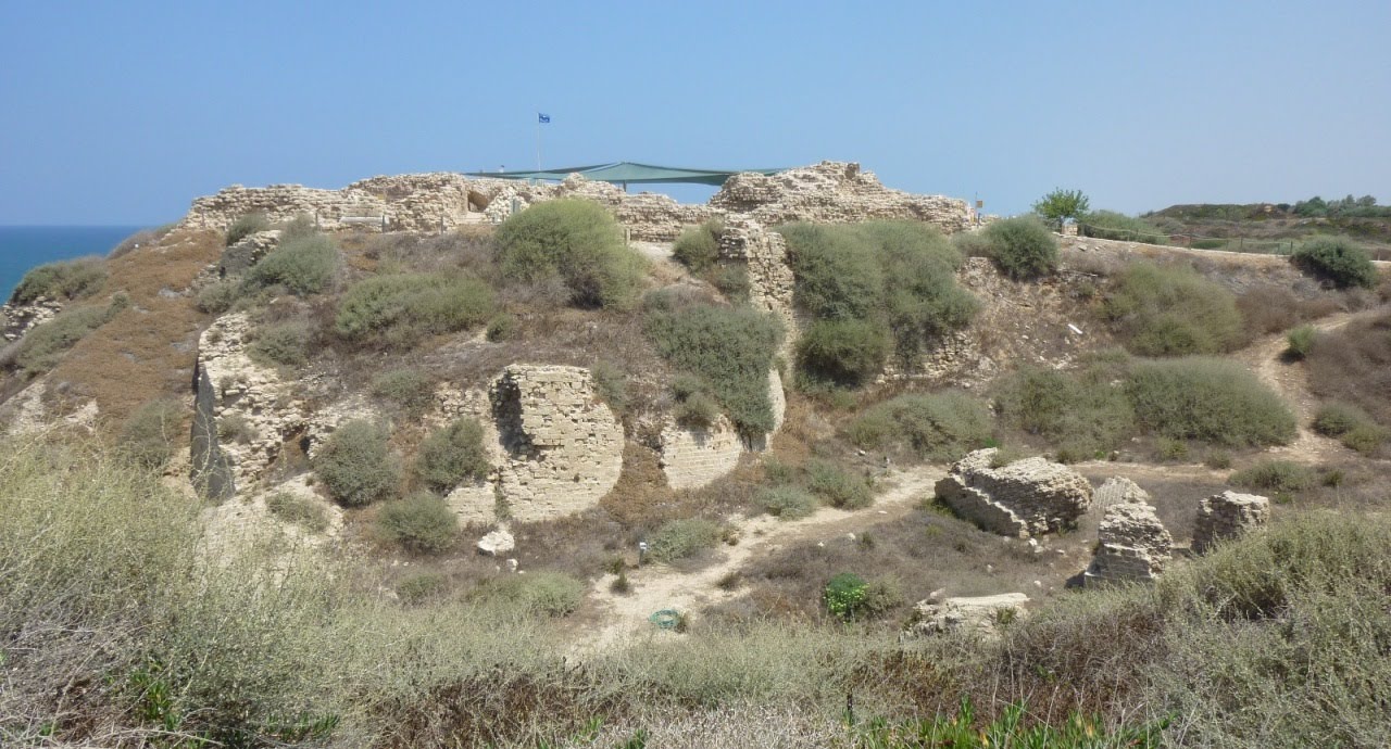
| More ruins |
The Crusaders took Jerusalem in 1099 but could not conquer Arsuf until the spring of 1101 with the aid of the Genoan fleet. They renamed the area Arsour. In the mid-12th century, the entire area of the southern Sharon Plain was awarded to a noble Crusader family, and Arsour became the regional capital. The Crusaders strengthened the walls of the former Muslim city, digging a dry moat around the town for additional protection.
 |
| Moat around town |
 |
| Crusader Wall Overlooking Ocean |
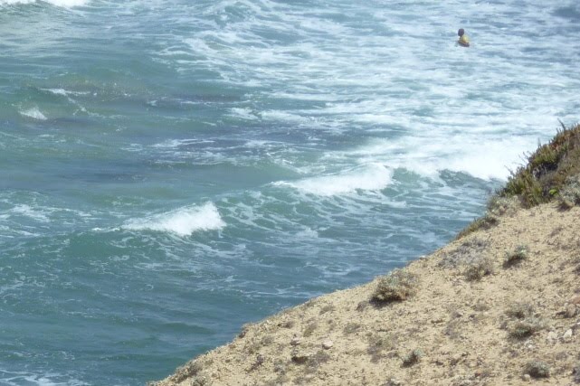 |
| Fisherman in top right corner |

In 1241, the Crusaders under the leadership of Jean d’Ibelin d’Arsour began construction of a fortress in the northern part of town. It was quite an endeavor and a very complete structure. As we walked toward the fortress, this is the view we saw:
 |
| Fortress from Afar |
Notice the ramp on the right. That did not exist in the past until the fort was conquered.
 |
| Model of Crusader fortress |
The fortress was protected by a dry moat that was 90 feet (!!) wide and up to 42 feet deep.
It was protected by 3 fortifications:
It was protected by 3 fortifications:
1) An outer retaining wall, semi-circular towers and a gate
2) An 18 foot high inner wall, higher than the outer wall and running parallel to it, which was the outer
wall of the rooms
3) The keep, which was the highest part of the fort, an octagonal tower built over a gradual incline and standing some 30 feet tall
 |
| depiction of Crusader Fortress |
 |
| Fortress Entrance |
The fortress courtyard was 85 feet long and and 30 feet wide. It led to the surrounding rooms and up to the second story. No clear details remain of the second story. Today the courtyard is used in the summer for concerts. 2010 marks the 7th season of Friday afternoon concerts at the site from May through September. For more information on this concerts, go to http://parks.org.il/BuildaGate5/general2/data_card.php?dc=930368046~384
All are Israeli groups, and Celtic music seemed much in vogue this summer.
When Arsour died in 1258, his son Belian took charge, but could not withstand the continuous pressure of Mameluke Muslim attacks. So he transferred control of his Southern Sharon fiefdom to the Hospitalier Knights. A few hundred soldiers of this order moved into the fortress.
As stated above, the "keep" was part of the protection of the fortress. It was on the second floor. The floor has been reconstructed.
 |
| Keep |
 |
| Artist Depiction of Fort entrance/Keep |
As in many parts of Israel, much of Apollonia was made from sandstone. The marble below is made from limestone under pressure. Note the designs on the top of the columns:

 |
| Marble Column |
 |
| Kitchen area |
  |
| Fort ovens |
 |
| Sizable Dining Area |
 |
| Drawing of Port |
 |
| Port--right had side easily visible |
In the spring of 1265, Arsour was attacked the Mameluck Sultan Bibars, at the head of a powerful army. When the town was attacked, some 2000 of the town folk and soldiers found refuge in the fortress. The city fell after 40 days and the fort was captured 3 days later. The Crusaders finally agreed to surrender on condition that they be allowed to leave the city. Baibars agreed, but then on entering the city, forced its defenders to burn the town and took them prisoner. The fortress only stood for 24 years. The Mamelukes established a military outpost here that was eventually abandoned and never inhabited again. Apollonia has laid in ruins ever since.
Plant life: There are very strong winds on the cliff where Apollonia stands and salt spray comes up from the ocean.
 |
| a succulent that was in abundance here in the summer during our visit |
The plants growing on the ridge above the cliff are highly resistant to the salt spray and the sand that blows on top of them.
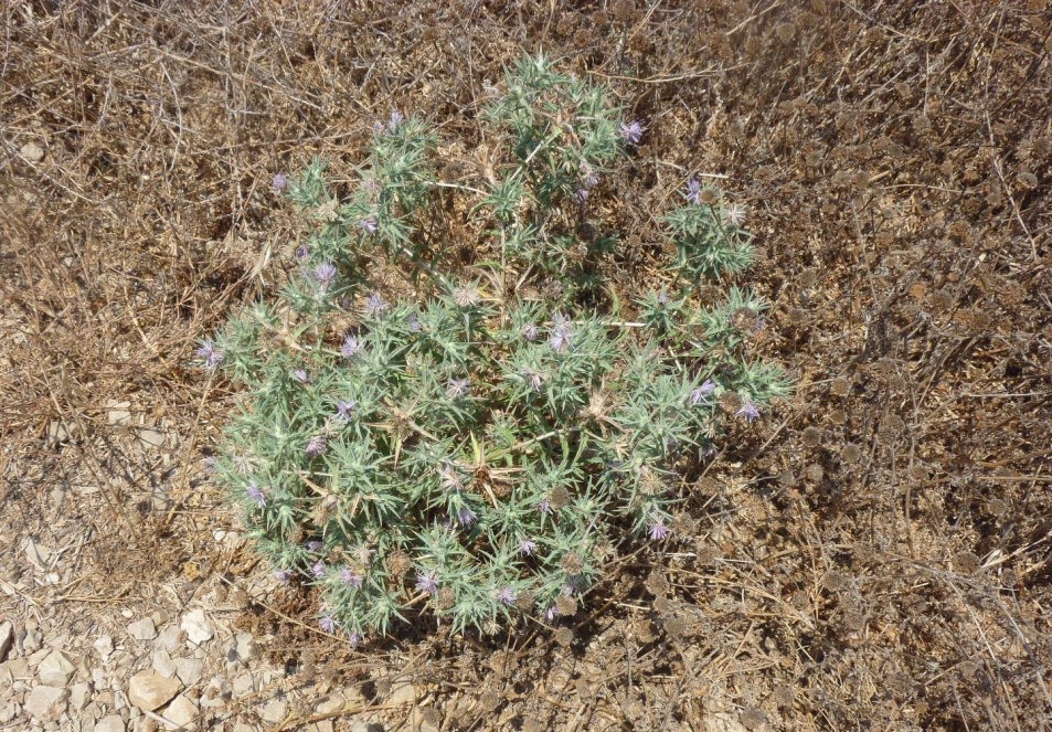 |
| A thorny bush with weed-like flowers |
Shrubby slatbush, lavender, prickly dorp-seed grass, and evening primrose grow well here. The purple lavender flowers were in abundance.

In 2003, World Monuments Watch declared Apollonia endangered by development, one of 100 such sites around the world so-named in that year, including the Great Wall of China and the city of Batsra in Syria. The full list of sites can be found on http://www.wmf.org/.


No comments:
Post a Comment